The Salvado Trail (failed FKT)
- 19 Jun, 2026
The Salvado Trail (also known as the Pilgrim Trail and the Camino Salvado) was inspired by the memory of Dom Rosendo Salvado, the Benedictine monk who founded the town of New Norcia in 1847. It covers 174km of urban and bush trails, starting at St Joseph’s in Subiaco and finishing at the Benedictine Monastery in New Norcia. It traverses multiple national & regional parks, including Walyunga NP, Avon Valley NP, Moondyne Nature Reserve & Julimar State Forest.
Over the past 10 years, I’ve had thoughts of running this trail end to end, having first becoming aware of it back in 2012 when Bernadette Benson blogged about her self-supported multi-day fast-hike. An idea started to form earlier this year that this would be a good way to motivate myself to rediscover my running groove (ahead of some European races in August & September). With the help of super-coach Rob Donkersloot (who himself has run this trail over multiple days, in both directions!), I rebuilt my fitness with some really solid training through April and the first half of May. Unfortunately, towards the end of May a few niggles started, including return of shin splints in my left leg, leading to a focus on rest & rehab. Then a very painful lower-back in the week prior had me questioning whether this would be possible, but thankfully that resolved itself just in time.
I’d registered the route on the Fastest Known Times (FKT) website thinking that if I completed it I could claim the Fattest or First Known Time by being the first (that I’m aware of) to get in done in a single end to end effort. I’d driven most of the route over the previous couple of months and also run the first 42km in training, so felt like I had a pretty good idea of what to expect.
Harmony very graciously offered to crew me through the journey, and I got the (not so) new Pajero all decked out for the trip.
Subiaco to Bells Rapids (0-42km)
I lucked out with it being the perfect day for a run, the sky was clear and the rain had gone away. But it was also the shortest day of the year and bloody cold! Well before the sun was up, I caught the train to Subiaco, just about freezing to death as I made my way from one line to the other in Perth. Arriving at Subiaco Square (adjacent to the starting point) a little earlier than anticipated I had some time to relax, snacking on a on a croissant and cappuccino in an attempt to get warm.
I made my way over to St Joseph’s, took a couple of photos inside and out, and got underway at 8.30am.
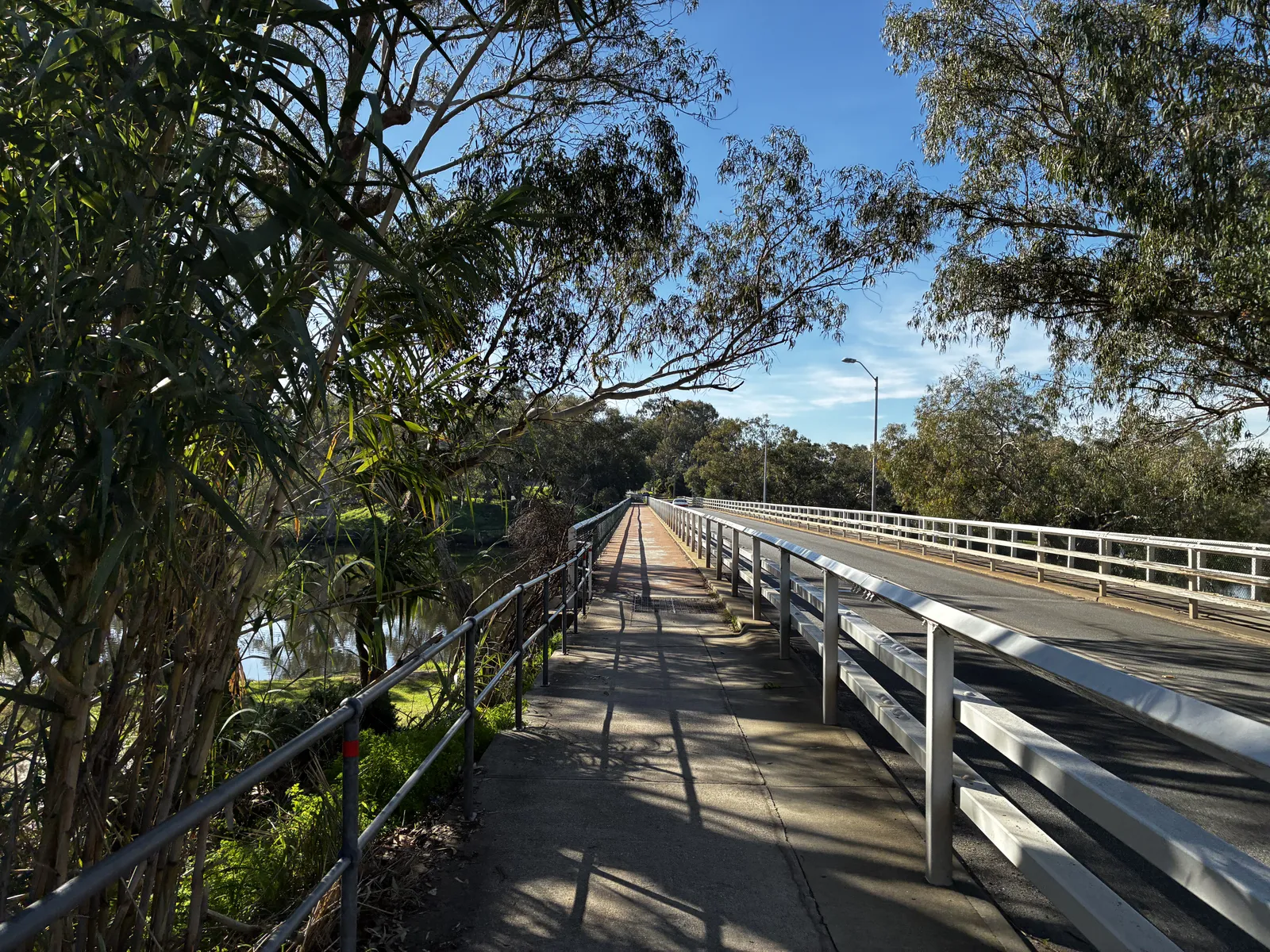
The plan was to run on my own until ~42km, meeting super-crew Harmony at Bells Rapids. I had run this section back in early May as part of my training, but the scenery still blows me away. Making my way along the railway line until reaching the city, then following Hay St through the mall, passing St Georges Cathedral (by Royal Perth Hospital), through Wellington Square and the East Perth inlet. I then followed the northern riverside path through Maylands, Ashfield and Bassendean (where some impressive mcMansions can be seen!) Crossing the Swan River at Guildford Rd, then through Stiring Square and by St Matthew’s Church, and heading onto West Swan Rd passing the Seminary Chapel of Saint Charles Borromeo. From here, it’s a long steady slog North before eventually turning East and crossing the river.
Harmony and Juliet appeared unexpectedly which was a nice suprise! Had a quick chat, but wasn’t in need of anything at the time. With the plan to meet up again at Bells, Harmony took Juliet off to school.
After crossing Gt Northern Hwy, there was a long bitumen stretch parallel to the railway line before passing the horse at Brigadoon and onto Cathederal Ave into Bells Rapids.
Harmony met me here, and I changed into trail shoes while grabbing a bag of cheezels. I was aware at this point that I’d become quite dehydrated over the previous 5h, but the impact of that hadn’t quite caught up with me (I was still feeling pretty bouncy!)
Bells Rapids to Shady Hills (42-55km)
This is a lovely section of trails. From Bells, I followed the river until arriving at the first carpark in Walyunga National Park. It’s only a few km, pretty flat but requires a fair bit of attention - having just run for 5h+ on bitumen, I took plenty of care to avoid tripping. We hadn’t had a lot of rain in the previous week meaning this section was fairly dry, but had there been a lot of rainfall I would have needed to use the adjacent fire trail (which is really hilly). Nearing Walyunga, the trail had been dug up following the fires last December, and rather than being narrow and twisty there is now a wide fire break / trail to follow.
I met Harmony at Walyunga and topped off my supplies. Then the fatigue really started to hit me here. Making my way through Walyunga meant a few decent hill climbs - these are hills that I’m really familiar with but I don’t often find myself hitting them with 50km in the legs already. It was a struggle, and for the first time I started questioning my life choices! There was a lot of walking, even on the downhills, and I realised that I really needed to get some calories in.
As I emerged into Shady Hills, Harmony was waiting for me on the roadside and made me a fabulous chicken and salad wrap. I probably should have had this back at Bells!
Shady Hills to Avon Valley NP entry (55-70km)
Leaving the bush tracks, this next section was a mix of bitumen road and horse trails. It’s undulating, but very runnable until the final climb to AVNP: the elevation profile shows it being a gentle downhill until that last climb. If only my legs had been in the mood to run. It was a bit of a slog to be honest.
The initial bitumen stretch through Shady Hills was quite busy with more cars than I’d expected (being late-afternoon, it was probably people coming home from work). Out of Shady Hills, it’s onto a sandy bridle trail section - that was mostly runnable (ha), and was grateful that for the most part the sand wasn’t too soft.
Then, onto probably the only “bad” section of the entire trail with several km’s of running on the roadside. It had been a frequent topic of conversation between myself and Harmony that this was a leg to be really cautious about. The sun was going down and it was getting late in the day, but as it turned out, I saw very few cars and had nothing to worry about! Harmony met me along here with a Macca’s cheeseburger which I very graciously accepted (and then struggled, big time, to eat it).
I still wasn’t on top of my dehydration issue from earlier in the day, and was trying to drink as much water as I could.
Reaching the bottom of the climb to AVNP, I took a break, changing my shirt and getting into some warmer clothing. By now the sun was down so on went the headtorch. I ditched my backpack and opted to run with a handheld bottle for a bit.
Urgh --- that hill. It’d be a good one for training for Coast to Kosci! An unrelenting climb at around 10%, I was knackered. Fair to say I was grateful to get that done.
I met Harmony half way up for a water top-up and again at the very top, where it was time for something warm to eat. It was time to say goodbye to the bitumen. By this point it was really dark and getting damn cold.
Avon Vally NP (70-84km)
The wheels unfortunately really started falling off through this section. Which is a shame - because it was super-runnable. This entire section is a nice wide 4wd dirt track full of puddles (requiring some caution at this time of year, some are deep!) Harmony met me every few km, where I’d sit down for a drink or something to eat.
Mentally, I was struggling. Something about it being dark by 6pm made it seem like I’d been on my feet for much, much longer. I had managed to re-hydrate myself really well (perhaps too well), and was moving along slowly.
After a few stops at the car, I was on the last ~3k section to the edge of the park when the shin pain decided to re-appear. It went from the occasional ping to “nah mate, you can’t run on this” almost immediately. I kept trying to change it up from a walk to a shuffle, but the pain would return and I was immediately back in Spain last year when that adventure came to an end. I wasn’t able to maintain enough movement to keep warm, and by the time I met up again with Harmony, decided it wasn’t really worth pushing on further: we were around half-way, and while I could maybe have maintained a 5-6kph pace and got it done, I decided it wasn’t worth taking the risk of a more significant injury ahead of adventures in Europe in a few months time.
A little bit of a disappointing result, but such is life. I’ll be back to try it again in the near future :-)
In the end, I covered 85.37km in 12:47.
A huge thanks to Harmony for accompanying me through the day.