Ultra En Pente Douce Day 1: Saint Savin to Queaux (45.5km)
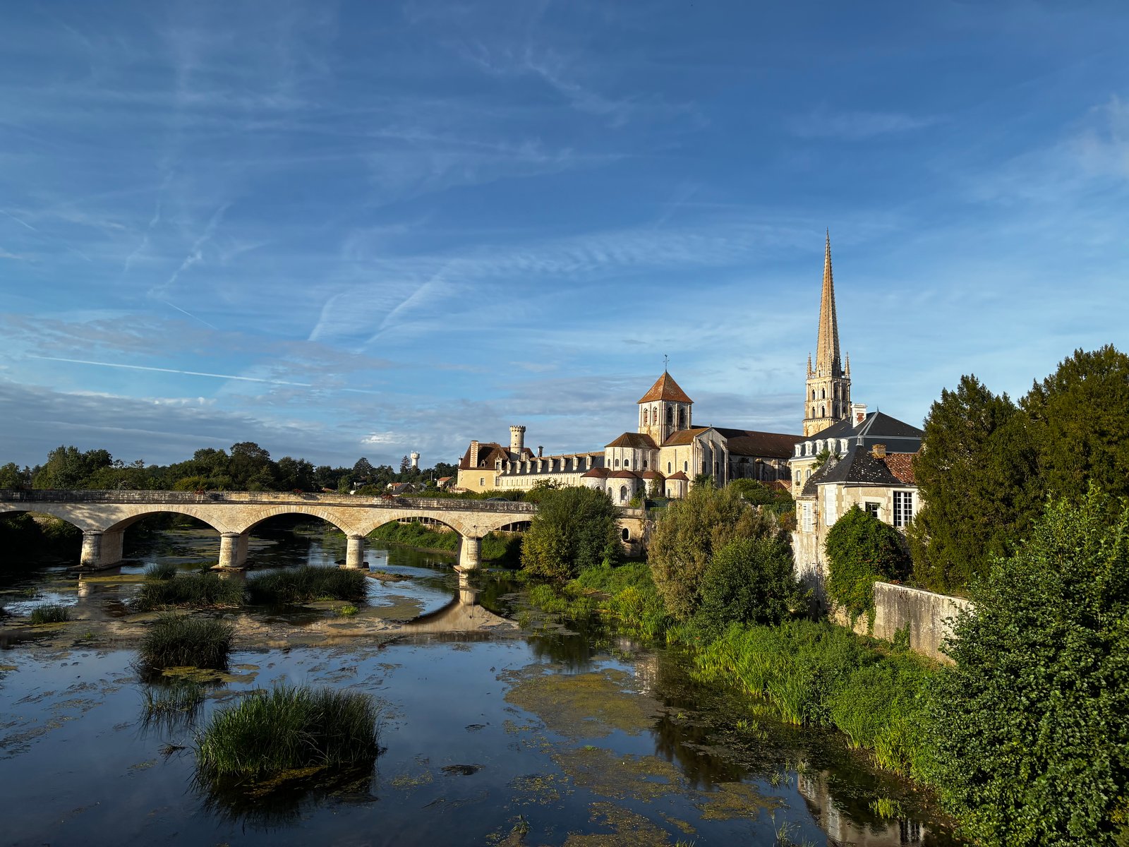
A fabulous start to the race today. Mild weather (max around 20), overcast for the most part, and a little rain. I arrived at the campsite on Saturday evening having had a bit of a travel mishap. My train to Poitiers was delayed by 25min, leaving only a small window to find the (regular scheduled) bus to the race start - got myself in a frazzle and struggled to find where the departure point. Eventually I looked up, saw the sign "Bus Depot" (lols), and made my way there only to see the 12.10pm bus driving out. The next opportunity was either a 5pm bus, or a 4.30 train (requiring a pickup from a different location). Went with the train, got collected by Xavier, and made it to the campsite with time to spare. Many familiar faces from my TransEspana last year, so many smiles. Was introduced to a few others, all of whose names I cannot remember (feel like we should have name tags!). The pre-race briefing started around 6pm, with Gilles going through all the details in French while my phone desperately tried to translate it to English -- I got the general idea! Once done, that we headed downstairs for some appetizers (all runners were meant to bring something from their region -- I brought Violet Crumbles, as the vegmite I brought to TE last year didn't see very popular). I cozied up with a few English speakers - one lovely couple from Germany (with a dog named Shiela), a couple of Dutchies, and Jennifer from the UK. Dinner followed - we had a very tasty meat and veg stew with couscous and wrapped up the evening with a local "Fromage Blanc" (that was basically greek yogurt) for desert. I was bunking with Fabrice, who I knew from last year, and we'd been put up in a hotel about 700m from the campgrounds. So we wondered off there. I slept pretty well, though it was a still & warm night - alternating between blanket and no blanket, while imagining I was being eaten by mozzies (Fabrice just had to mention them before sleep time!) Sunday morning finally arrived, race gear on, and we headed to the campground for breakfast at 7.30am. Some large bowls of coffee and caramel puffed wheat, then an hour of nervous pacing by everyone ahead of our mass start at 9am (after the first day, we are divided into two groups, the "slower" group starting an hour earlier). The course today followed quiet country roads, heading south from Saint Savin. In total around 250m of elevation, meaning very few hills to walk up! I took it super easy for the first 20km, shuffling along and alternating with a fair amount of walking. Taking photos at every opportunity, I was trying my best to not run too quick and just settle into the run. Aid stations were approx 10km apart (3 in total today) for the 45.5km covered - the general aid station fare included boiled eggs, bread with cheese spread, bananas, oranges and rockmelon, chips, biscuits, and bread with fish. I could easily have just carried a hand-held water bottle, but decided to bring the running vest instead - some extra weight perhaps, but it wasn't a bother. We passed through a couple of really gorgeous towns, it's clearly a popular area during the summer vacation, with a lot of campsites along the riverside. Thankfully everyone is back to school and work, so the area is quiet and there are very few cars on the roads. After the second aid station I started running with a bit more purpose - there was a long straight stretch of road that would have been about 2k long, and I just felt in the zone shuffling along at a constant pace. From there I just tried to maintain the same pace, and started passing one person after another. Got it into my mind that I might be able to get my pace to under 7min/km (at the time it was about 8.1kph, maybe 7.4min/km), which gave me some focus -- didn't quite get there in the end but felt really good about how I was able to just push out the second 20km without too much fuss. After finishing we had to cross a river on a hand-pulled pontoon. This required first pulling the boat across from the other side by dragging a chain (which took quite some time), and then about 8 of us got onboard and pulled the other chain to cross. Pretty cool way to wrap up the day! Accomodation tonight was in a large canvas tent, it's split into a living space, a bedroom with a double bed (shared by a couple with their dog Max), and another room with a single room and a bunk bed. Stats for today: 45.53km, 5:21:34, 326m elevation. Photo Gallery
The Salvado Trail
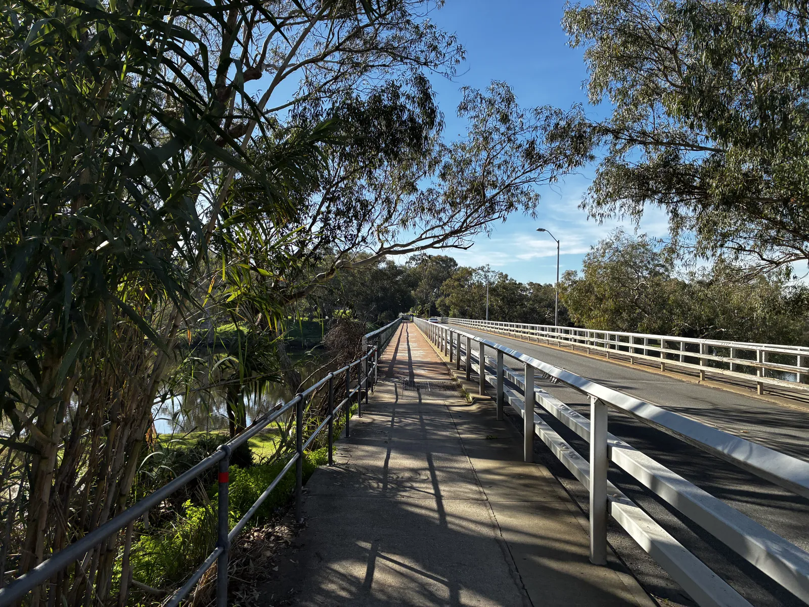
The Salvado Trail (also known as the Pilgrim Trail and the Camino Salvado) was inspired by the memory of Dom Rosendo Salvado, the Benedictine monk who founded the town of New Norcia in 1847. It covers 174km of urban and bush trails, starting at St Joseph's in Subiaco and finishing at the Benedictine Monastery in New Norcia. It traverses multiple national & regional parks, including Walyunga NP, Avon Valley NP, Moondyne Nature Reserve & Julimar State Forest. Over the past 10 years, I've had thoughts of running this trail end to end, having first becoming aware of it back in 2012 when Bernadette Benson blogged about her self-supported multi-day fast-hike. An idea started to form earlier this year that this would be a good way to motivate myself to rediscover my running groove (ahead of some European races in August & September). With the help of super-coach Rob Donkersloot (who himself has run this trail over multiple days, in both directions!), I rebuilt my fitness with some really solid training through April and the first half of May. Unfortunately, towards the end of May a few niggles started, including return of shin splints in my left leg, leading to a focus on rest & rehab. Then a very painful lower-back in the week prior had me questioning whether this would be possible, but thankfully that resolved itself just in time. I'd registered the route on the Fastest Known Times (FKT) website thinking that if I completed it I could claim the Fattest or First Known Time by being the first (that I'm aware of) to get in done in a single end to end effort. I'd driven most of the route over the previous couple of months and also run the first 42km in training, so felt like I had a pretty good idea of what to expect. Harmony very graciously offered to crew me through the journey, and I got the (not so) new Pajero all decked out for the trip. Subiaco to Bells Rapids (0-42km) I lucked out with it being the perfect day for a run, the sky was clear and the rain had gone away. But it was also the shortest day of the year and bloody cold! Well before the sun was up, I caught the train to Subiaco, just about freezing to death as I made my way from one line to the other in Perth. Arriving at Subiaco Square (adjacent to the starting point) a little earlier than anticipated I had some time to relax, snacking on a on a croissant and cappuccino in an attempt to get warm. I made my way over to St Joseph's, took a couple of photos inside and out, and got underway at 8.30am. The plan was to run on my own until ~42km, meeting super-crew Harmony at Bells Rapids. I had run this section back in early May as part of my training, but the scenery still blows me away. Making my way along the railway line until reaching the city, then following Hay St through the mall, passing St Georges Cathedral (by Royal Perth Hospital), through Wellington Square and the East Perth inlet. I then followed the northern riverside path through Maylands, Ashfield and Bassendean (where some impressive mcMansions can be seen!) Crossing the Swan River at Guildford Rd, then through Stiring Square and by St Matthew's Church, and heading onto West Swan Rd passing the Seminary Chapel of Saint Charles Borromeo. From here, it's a long steady slog North before eventually turning East and crossing the river. Harmony and Juliet appeared unexpectedly which was a nice suprise! Had a quick chat, but wasn't in need of anything at the time. With the plan to meet up again at Bells, Harmony took Juliet off to school. After crossing Gt Northern Hwy, there was a long bitumen stretch parallel to the railway line before passing the horse at Brigadoon and onto Cathederal Ave into Bells Rapids. Harmony met me here, and I changed into trail shoes while grabbing a bag of cheezels. I was aware at this point that I'd become quite dehydrated over the previous 5h, but the impact of that hadn't quite caught up with me (I was still feeling pretty bouncy!) Bells Rapids to Shady Hills (42-55km) This is a lovely section of trails. From Bells, I followed the river until arriving at the first carpark in Walyunga National Park. It's only a few km, pretty flat but requires a fair bit of attention - having just run for 5h+ on bitumen, I took plenty of care to avoid tripping. We hadn't had a lot of rain in the previous week meaning this section was fairly dry, but had there been a lot of rainfall I would have needed to use the adjacent fire trail (which is really hilly). Nearing Walyunga, the trail had been dug up following the fires last December, and rather than being narrow and twisty there is now a wide fire break / trail to follow. I met Harmony at Walyunga and topped off my supplies. Then the fatigue really started to hit me here. Making my way through Walyunga meant a few decent hill climbs - these are hills that I'm really familiar with but I don't often find myself hitting them with 50km in the legs already. It was a struggle, and for the first time I started questioning my life choices! There was a lot of walking, even on the downhills, and I realised that I really needed to get some calories in. As I emerged into Shady Hills, Harmony was waiting for me on the roadside and made me a fabulous chicken and salad wrap. I probably should have had this back at Bells! Shady Hills to Avon Valley NP entry (55-70km) Leaving the bush tracks, this next section was a mix of bitumen road and horse trails. It's undulating, but very runnable until the final climb to AVNP: the elevation profile shows it being a gentle downhill until that last climb. If only my legs had been in the mood to run. It was a bit of a slog to be honest. The initial bitumen stretch through Shady Hills was quite busy with more cars than I'd expected (being late-afternoon, it was probably people coming home from work). Out of Shady Hills, it's onto a sandy bridle trail section - that was mostly runnable (ha), and was grateful that for the most part the sand wasn't too soft. Then, onto probably the only "bad" section of the entire trail with several km's of running on the roadside. It had been a frequent topic of conversation between myself and Harmony that this was a leg to be really cautious about. The sun was going down and it was getting late in the day, but as it turned out, I saw very few cars and had nothing to worry about! Harmony met me along here with a Macca's cheeseburger which I very graciously accepted (and then struggled, big time, to eat it). I still wasn't on top of my dehydration issue from earlier in the day, and was trying to drink as much water as I could. Reaching the bottom of the climb to AVNP, I took a break, changing my shirt and getting into some warmer clothing. By now the sun was down so on went the headtorch. I ditched my backpack and opted to run with a handheld bottle for a bit. Urgh --- that hill. It'd be a good one for training for Coast to Kosci! An unrelenting climb at around 10%, I was knackered. Fair to say I was grateful to get that done. I met Harmony half way up for a water top-up and again at the very top, where it was time for something warm to eat. It was time to say goodbye to the bitumen. By this point it was really dark and getting damn cold. Avon Vally NP (70-84km) The wheels unfortunately really started falling off through this section. Which is a shame - because it was super-runnable. This entire section is a nice wide 4wd dirt track full of puddles (requiring some caution at this time of year, some are deep!) Harmony met me every few km, where I'd sit down for a drink or something to eat. Mentally, I was struggling. Something about it being dark by 6pm made it seem like I'd been on my feet for much, much longer. I had managed to re-hydrate myself really well (perhaps too well), and was moving along slowly. After a few stops at the car, I was on the last ~3k section to the edge of the park when the shin pain decided to re-appear. It went from the occasional ping to "nah mate, you can't run on this" almost immediately. I kept trying to change it up from a walk to a shuffle, but the pain would return and I was immediately back in Spain last year when that adventure came to an end. I wasn't able to maintain enough movement to keep warm, and by the time I met up again with Harmony, decided it wasn't really worth pushing on further: we were around half-way, and while I could maybe have maintained a 5-6kph pace and got it done, I decided it wasn't worth taking the risk of a more significant injury ahead of adventures in Europe in a few months time. A little bit of a disappointing result, but such is life. I'll be back to try it again in the near future :-) In the end, I covered 85.37km in 12:47. A huge thanks to Harmony for accompanying me through the day. Photo Gallery
24 Hours for ME
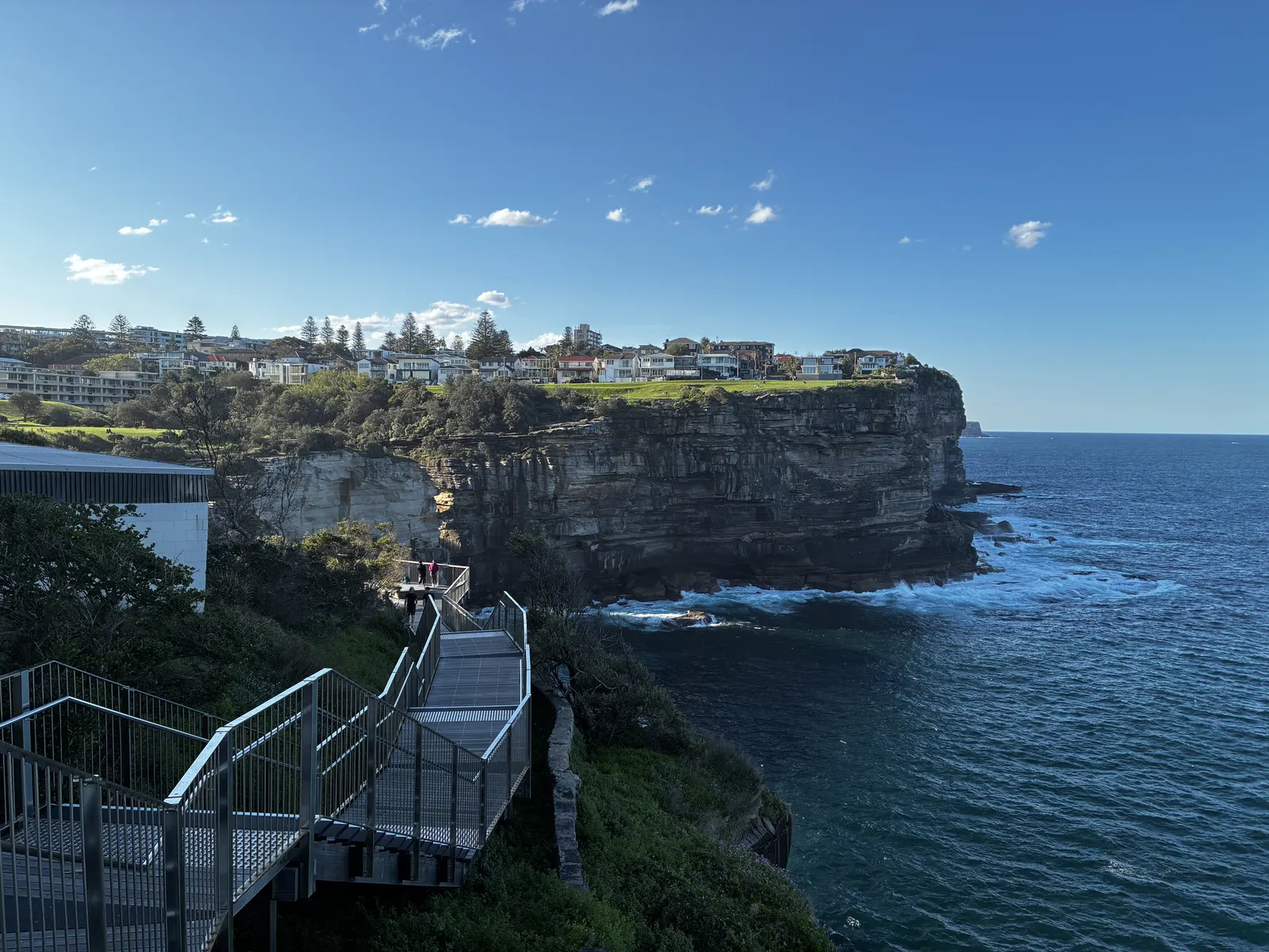
"24 Hours for ME" carried a dual significance for us:Shining a spotlight on Myalgic Encephalomyelitis (ME/CFS) — a complex, deeply debilitating neuroimmune condition.Championing the essential nature of personal "me" time — recognizing that by nurturing our own well-being through self-care, we strengthen our capacity to support those in our lives who need it most.This project was deeply personal for Glen, whose family has been directly affected by ME. By pushing our own boundaries, our goal was to shine a light on the daily struggles of those living with ME and the urgent need for ongoing research and understanding. Running the iconic Bondi to Manly trail had been on our bucket list for a while. So, we came up with a simple, high-stakes challenge:Fly: Perth to Sydney. Run: The 80 km Bondi to Manly course. Return: Sydney to Perth. The Catch: Do the entire thing within a strict 24-hour window.Red-Eyes and Rushed Starts We set off from home on the evening of 20 September 2025, with Joanne dropping us at Perth Airport for the 11:55 PM Jetstar flight to Sydney. We had high hopes of snatching a little sleep on the way, but with only four hours in the air, we landed in Sydney at 6:00 AM feeling anything but rested! We were met at the airport by local running legend Ewan Horsburgh, who drove us straight out to Manly. We intentionally flipped the course to start from the point furthest from the airport, ensuring we wouldn't get stuck in afternoon traffic on our way back. After a quick change into our running gear, Ewan joined us for a short warm-up trot along the beachfront promenade at Manly as we made our way onto the first of many coastal trails. It was an absolute cracker of a day in Sydney—crystal clear blue skies and perfect temperatures for a long run. The Lost Phone Drama We’d covered about 5 km before meeting up with Ewan at the Barragula Lookout when panic struck: I didn't have my phone. We searched Ewan’s car without luck, so Ewan and I headed back to where we’d parked in Manly while Glen carried on ahead. Back in Manly, we searched high and low and were just about to give up when we checked a cafe across the road. Sure enough, someone had handed it in! It turned out my phone had slipped out of my pocket when I got out of the car earlier. The screen was covered in shattered glass, but miraculously, the phone still worked. Phew. (As it turned out, only the screen protector had shattered—best $50 I’ve ever spent. Though I did get a glass splinter in my thumb before realizing I could just peel the damaged protector off!) Reunited with the tech, we made our way to East Esplanade Park and the Manly Sailing Club to intercept Glen and resume the run together. Headlands, Mis-Steps, and Hungry Jack’s The route closely follows the headlands, offering endless stunning views. Ewan joined us for another stretch near Clontarf Reserve before we had to part ways, leaving Glen and me to tackle the rest of the journey on our own. Around the 25 km mark, disaster struck again. I had a bad mis-step and rolled my ankle severely on the edge of the path. A few choice words were shouted (loudly enough that an older lady across the road gave me a proper side-eye), followed by some serious grimacing. For a few tense minutes, I honestly thought that was the end of my run. But I sucked it up and pushed on—though, in hindsight, that wasn't the smartest move for my recovery over the following months! Crossing the Sydney Harbour Bridge, we hit Circular Quay and wolfed down some Hungry Jack’s before pushing on past the Opera House, Farm Cove, and Potts Point. By this stage, the phone detour and ankle delay meant we were running well behind our target time for the full 80 km route, so we began cutting a few corners to shorten the distance. The course is relentlessly undulating—if you’re not going uphill, you’re going down—but the silver lining was getting panoramic views from the top of every ridge. At one point, Glen mentioned he could easily see himself living in Sydney. We were definitely doing the grand highlights tour... who wouldn't want to live near Double Bay or Rose Bay? Plus, there were countless dogs to pat along the way, so Glen was well and truly in his happy place! The Final Stretch & The 24-Hour Clock Finally, we hit the last leg, tracking down the coastline past Dover Heights and into Bondi. After taking in one last set of amazing ocean views, we finished up at Bondi Park. We grabbed a quick shower, enjoyed a well-deserved beer at a beachfront cafe, and hailed an Uber back to the airport just in time for our 8:15 PM Virgin flight home. The flight departed on time, landing back in Perth at 11:30 PM. Goal achieved: Sydney and back in under 24 hours! Photo Gallery Sponsorship & Thanks This entire project—from the physical challenge to the creation of the upcoming documentary—was only possible thanks to an incredible support network. We extend our deepest gratitude to our official sponsors:ASICS Australia for keeping our feet covered in top-tier footwear.Ultra Series WA for their unwavering community backing.Tribe & Trail for their long-standing support, which has also personally assisted Glen's daughter, Lily.To every single person who donated to help us fund vital ME research through NCNED and bring the (eventual) documentary to life, and to everyone who shared our message and helped raise awareness—thank you. Your belief in this cause fuels our every step.
TransEspana Day 4: Castejon de Valdejasa to Fuendejalon (61km)
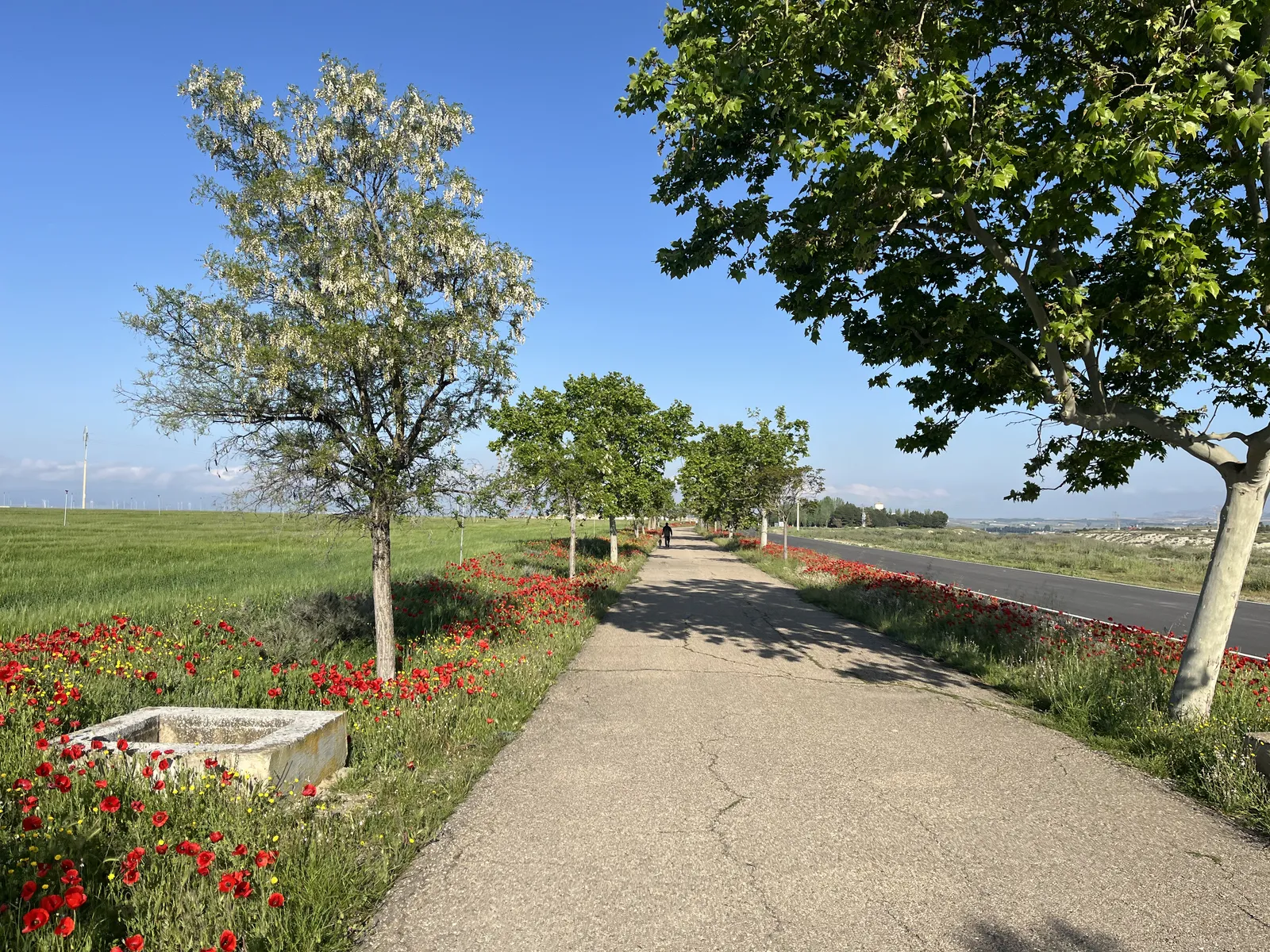
A tougher day today. An extra 10km doesn’t sound like much, but it means an earlier start (6.30am today), an extra aid station, and a fair bit more sun exposure from being out longer. Leaving the sports hall in the pre-dawn, we formed a tango line along the long road, shuffling along, not really stretching out that much for the first section. I left with a thermal top under my shirt, thinking it was cold but that only lasted about 30min. I had to strip down to remove it (which proved entertaining for a few other runners, ooh la la!) I settled into an early walk/run routine, trying to temper my enthusiasm to move faster. Had a great chat with Thomas, who’s here for his fourth TransEspana event, and is the organiser of several events in Germany, including Deutschland Lauf – 18 days across Germany, a little longer than this race. Next edition 2026. Note to self to completely forget that conversation as soon as possible. We travelled mostly through farmland again today, quite a few pig farms too, the main change being that much of this land was irrigated, with viaducts criss-crossing through the fields and across the roads. It was interesting to see a number of fields that might have been growing rice (or something else very water-intensive) – many fields had been levelled out to create a stepped landscape. Still extremely green. Shortly before Aid 3, we went through a small town and passed a Pharmacy. Yay! I bought a couple of tubes and some after-care lotion. Cost a small fortune, but I’m sure it’ll be worth it. The sunscreen I had been given was the spray-on-clear kind, which I’ve never felt all that great about (you just don’t know if you’ve got good coverage). It was great to get a decent application on, and honestly I just felt a lot of relief in knowing that my sunburn shouldn’t get any worse. It was fields, small towns, aid station, fields etc etc today. The aid station food is working well for me & I’m eating a lot of bananas. My plan is pretty much to just eat as much of everything as I can. I completed today in 8:17, with a target of 8:45. Maybe pushed the last leg a little harder than I needed to, but I’m also trying to ensure I can just keep in a nice slow running rhythm rather than get stuck doing long stretches of walking. Tomorrow it’s 75km. Same the day after, with targets of 11h and 12h15 respectively. I think we have a 6am start, so it’s going to be a tough couple of days without a lot of down-time. I may not post the next couple of days, R&R is more important. Starting to find a bit of a rhythm to this whole adventure.Wake 1h45m before the start, take pills & get dressed in my running gear start packing away my bedding etc, poo eat breakfast (available 1h15 before start) poo finish packing everything up poo & lube application run (the important bit … but doesn’t happen without all the other stuff!) finish find bags find accomodation (if sports hall, find a corner for myself and get bedding setup) shower (please let there be warm showers tomorrow, last two days it’s been cold brr) eat (there’s a “salad” after each day’s run, today it was potatoes, egg, veggies, with bread) have two Bix recovery drinks (really good for avoiding nighttime cramps) get organised for the next day (clothes ready, electrolyes etc, notes on course) do this internet stuff (if time permits) main meal (time varies). We’ve been fed really well so far. lie down to sleep stare at ceiling go to the loo stare more at the ceiling go to the loo eventually drift off (but loo at least two more times through the night, generally after being woken by snoring)Photo Gallery
TransEspana Day 3: Ayerbe to Castejon de Valdejsa (51km)
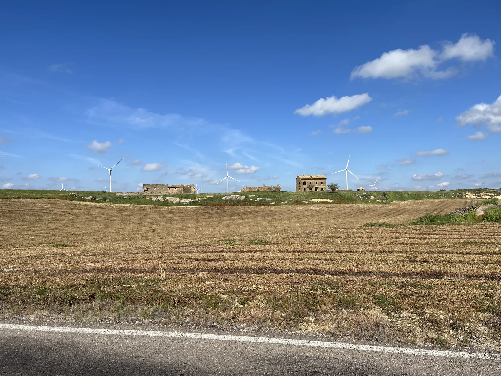
Today was good. Slept really well last night (in a sports hall in Ayerbe) — there was a little bit of snoring, but I was just so darn tired I reckon I had 4 x 1.5h blocks of decent sleep. We were up at 5.30am, for a 6.15am breakfast and 7.30am departure. Breakfast was simple enough – coffee (served in bowls, I like these French ideas!), cereal, bread with butter & jam, and some fruit. We kicked off at 7.30, heading out of town and it was pretty much downhill 14.6km all the way to the first aid station. The road was a minor one (sealed), but not much traffic, and very straight. We were heading through farming country, with fields on both sides, and passed a couple of very small villages and farms along the way. Everyone seemed to be moving well, and I ran the majority of this first leg. The aid station was the usual fare, and I threw on my arm & neck sleeves, and applied some sunscreen (“borrowed” from one of the other participants). This leg was had some small, sharp, bumps but was generally downhill. We remained on the same road with fields left and right, and could see a wind farm coming up ahead. Through aid 2 at the 28km mark. After a right turn onto a smaller road, we made our way to aid 3. Generally uphill, but very runnable for the most part. As we approached aid 3, I passed a couple of guys, and there were maybe 3 or 4 people or just leaving the aid station. For reasons unknown, I’d had enough of looking at people in front of me, so went through this station very quickly (just grabbing bananas and muffins and chips), and went out rapidly. The course profile showed this leg as a steep uphill for about 7km, then downhill for 6. But it was quite runnable for the first 2.5k or so, and then I engaged “uphill walk mode” and powered up the hill. I was really enjoying this climb and didn’t want it to end — the views of the farmland and wind farm(s) were incredible as we got higher up, but all to soon it switched to downhill. I’d not seen any of those behind me for a while, but decided no-one was catching me and ran down the final 6.5km. Urgh. Into the finish line in 6:22, well ahead of the planned 7:07. Whoops. Might end up paying for that later. Note to self: take tomorrow super easy — we have 61km tomorrow, that looks like an easy descent to commence, and ascent at the end, nothing too steep. My plans have me really slowing down, which I will because following that it’s two days of 76km. We are starting tomorrow at 6.30am, not sure why but it’s likely a combination of “smart people will take longer” (per above), and maybe to give us more time to rest tomorrow night. Accomodation is again at a sports hall, this town looks really small – didn’t see any sign of shops on the way in. On arrival it was a cold communal shower (there was a fair bit of shrieking, it was so cold), then I washed the last three days of running gear and hung that out. Today’s post-run “salad” was a pasta salad, couscous and chicken drumsticks. Naturally, I ate a lot of the pasta. We have Apéritif’s at 6pm, dinner at 7pm, and then an early to-bed. Breakfast tomorrow is at 5.15, eeek! Photo Gallery